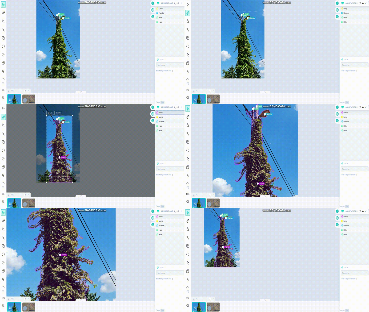
A SIGNIFICANT PART OF THE FAILURES IN THE OVERHEAD POWER LINE NETWORK OF POWER PLANTS CAN BE ATTRIBUTED TO THE VEGETATION PROLIFERATING ALONG THE TRAILS.
The reliability of power plants’ overhead line networks and the maintenance of environmental balance are closely linked to effective vegetation management. Uncontrolled vegetation growth along pathways can not only cause operational failures but also pose ecological challenges.
Responsible vegetation management is crucial for network security and biodiversity conservation. This includes:
To optimize maintenance costs and minimize environmental impacts, it is essential to control and efficiently manage these activities. The HAWK System Platform offers an innovative solution to this challenge, enabling precise work planning and management by integrating corporate master data.
Modern technology, especially satellite imagery analysis, is revolutionizing vegetation management:
This integrated approach not only optimizes maintenance costs but also contributes to sustainable landscape management and climate protection. Responsible vegetation management thus aligns energy security with environmental protection, supporting the development of a more resilient and ecologically balanced infrastructure.
Area of application medium and high voltage networks
Custom map layers can be requested as an option:
Other country-specific maps provided by customer
Priority nature conservation areas
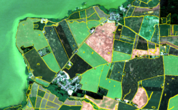
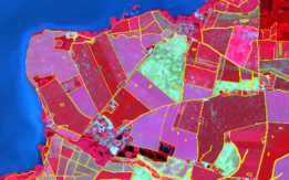
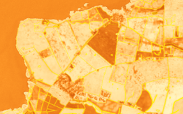
vegetation management risk matrix

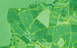
Our company has developed the display of satellite images and data collected by the car-mounted camera system in a Vegetation matrix.
We determined the current state of the vegetation, the location of the vegetation in the safety zone in relation to the network, and also determined height categories within it. Considering the nature of the vegetation, we created a growth model taking into account the change.
The other vector of the matrix was weighted by the effect of vegetation on the network. Malfunction statistics, the number of consumers supplied, and, where applicable, the life protection classification.
The network elements (electrical network sections) have been placed in a matrix, where, based on the data assigned to them, we can properly coordinate the intervention priority based on their location within the matrix.
How to claim the free demo (BASIC)?
Selection of pilot area (approx. 50 km continuous network)
Handover of electrical network topology
Analysis of satellite images in the affected sectors
Connecting the analysis to topology
Display on dashboard interface
Evaluation together with customer
Order – if the customer so decides
You can find our car mounted low-voltage vegetation management system here:
Frequently asked questions
If you have any question, please let us know, and we will publish the answer.
More products
Our other solutions that might be interesting for you.
