

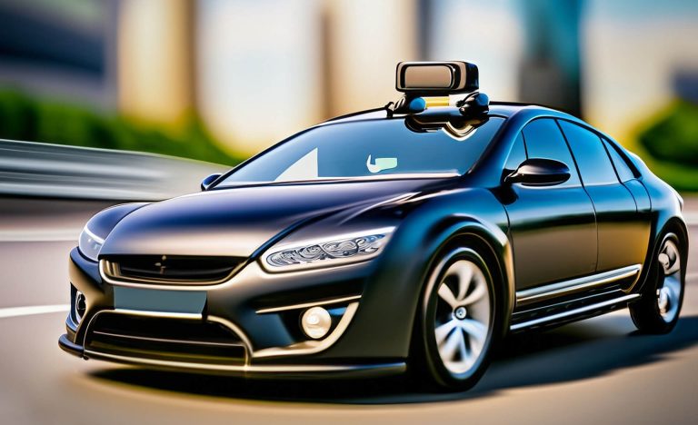
Electrical network inspection with innovative vehicles
Visual network monitoring with artificial intelligence.
Maintaining the reliable and uninterrupted operation of electricity distribution networks is an extremely difficult task. Overhead networks are exposed to the whims of weather, and service providers also have to deal with deterioration of technology from time to time. This puts strain on human resources involved.
The technology we present helps in the operational process, in risk-based maintenance strategy planning, including visual detection of network element errors and malfunction. This technology makes it possible to reduce the cost of visual inspection of networks to almost one-fifth.
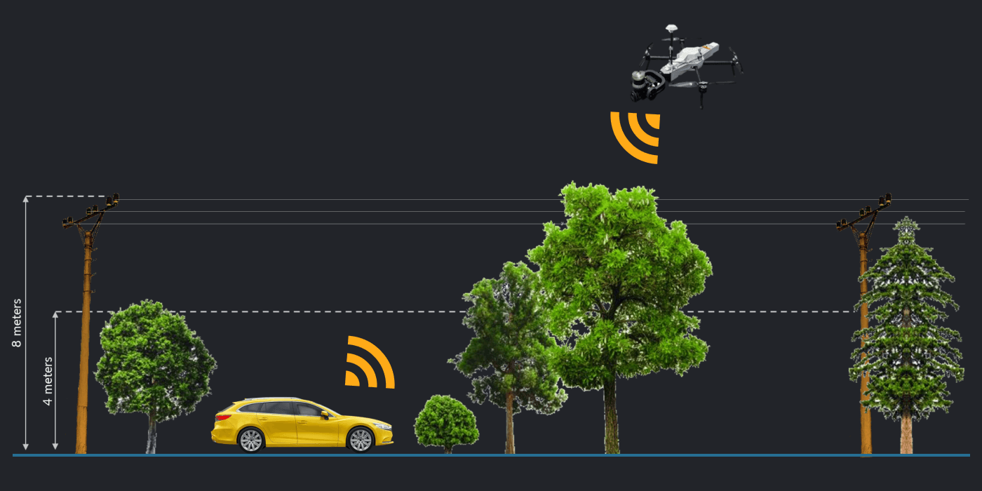
Inspection of objects located in the immediate vicinity of the road network
1 EUR / pole / year
1 EUR/pole/year?
Installing the HAWK System Platform Framework has never been easier. No initial cost, only monthly service fee.
During the conclusion of the contract, the length of the network and the number of columns must be determined
The total number of the objects (column and support structure) is multiplied by 1 euro and divided by 12.
This will be the monthly service fee.
What is included?
HAWK System platform integration into the customer’s environment
GIS with map display, integration, reporting
Full scale SUPPORT – with remote access
Unlimited data collection and AI detection
Object detector
Customer-specific error dictionary for virtual network monitoring*
*Following data collection (via drone, car), the data is uploaded to the HawkGrid system and associated with the network GIS data. At this stage, the system is already capable of allowing the client to perform inspections of electrical network based on the photographs using their own error dictionary in an office environment. Thus, even at this stage, we create the possibility of virtual knowledge transfer, which is the foundation for training neural networks.
What is not included?
The hardware cost of the car’s on-board camera system
The price of the camera system is depending on the number of sensors.
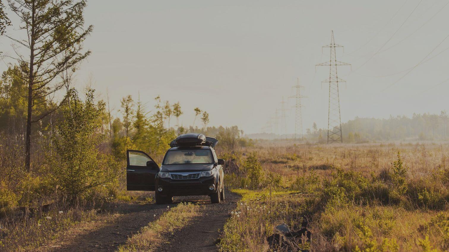
Data collection must be done by the customer
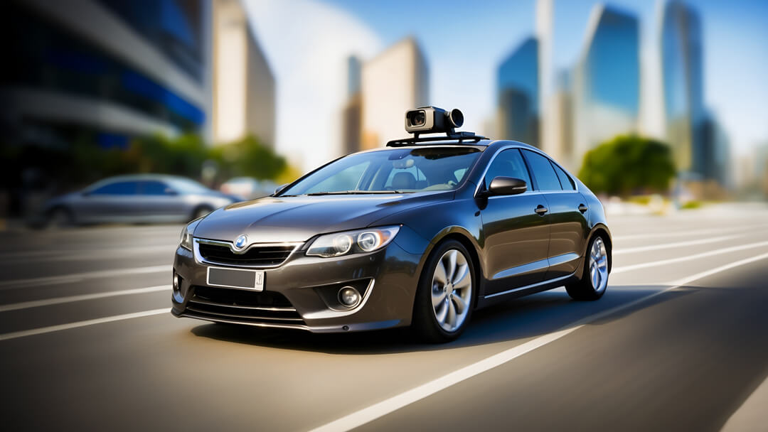
Any car is suitable (also electric), there are no special prerequisites.
Cost of data collection
Ask for our offer. The cost of data collection depends on the method of data collection.
Car Detection Service Cost Calculator
The process
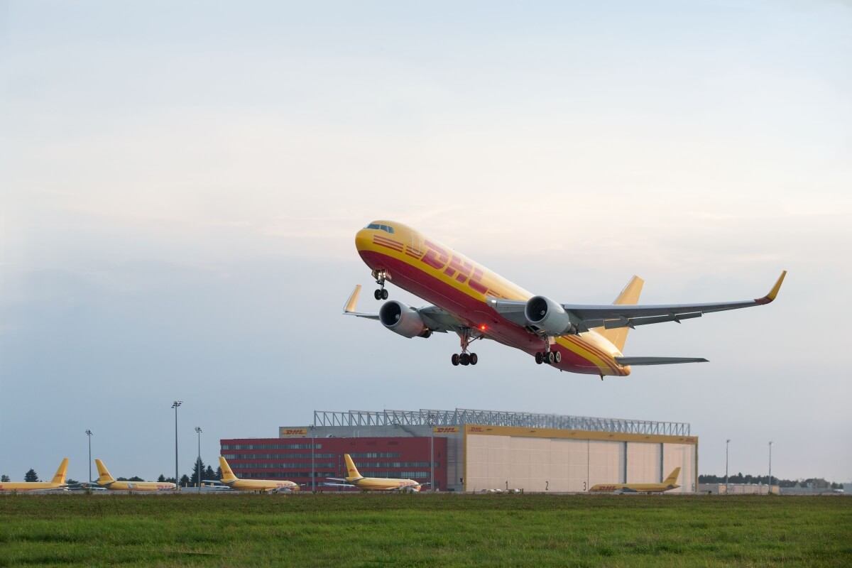
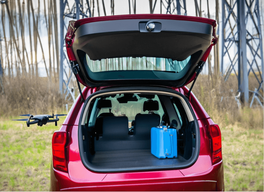
1. Delivering the camera
After you ordered our service, we deliver the camera set to your location via DHL – our strategic delivery partner.
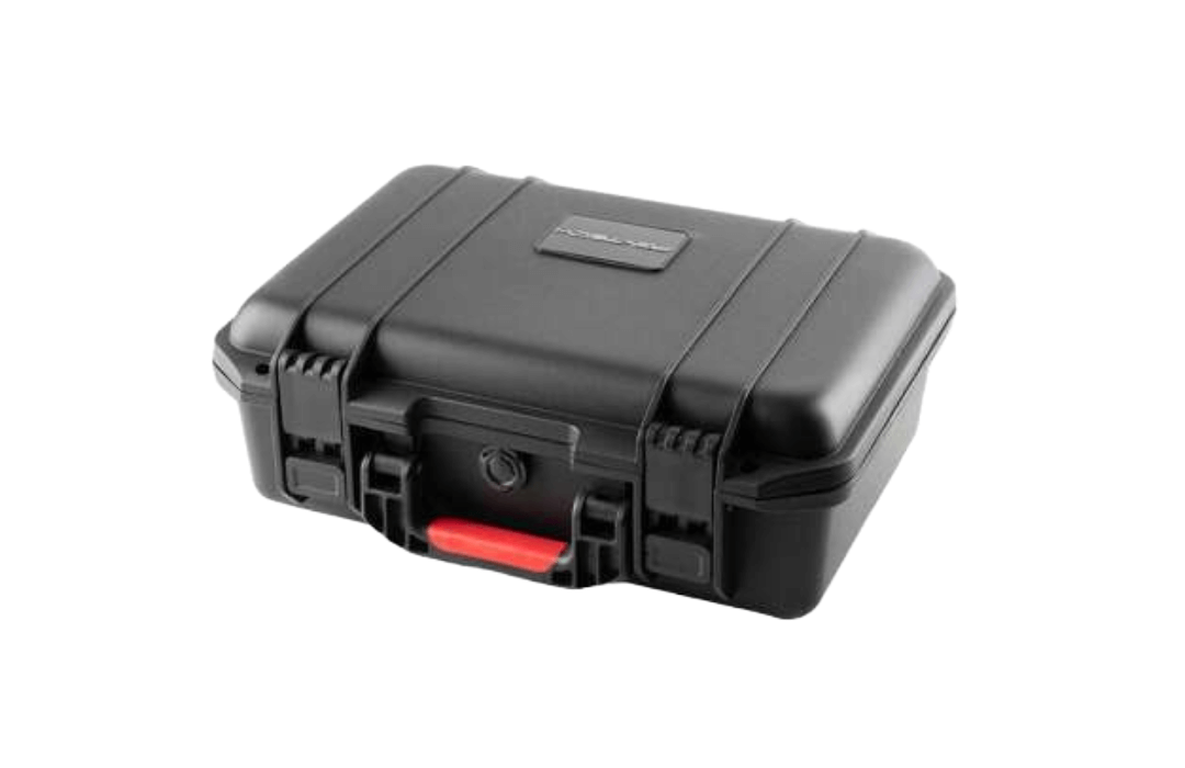
2. The camera set
You get the camera set in a safety suitcase. You can simply install the camera directly on your car.
3. Start recording
You can start recording in your location, the data will automatically be uploaded and integrated into your HawkGrid system.
Our data collection process
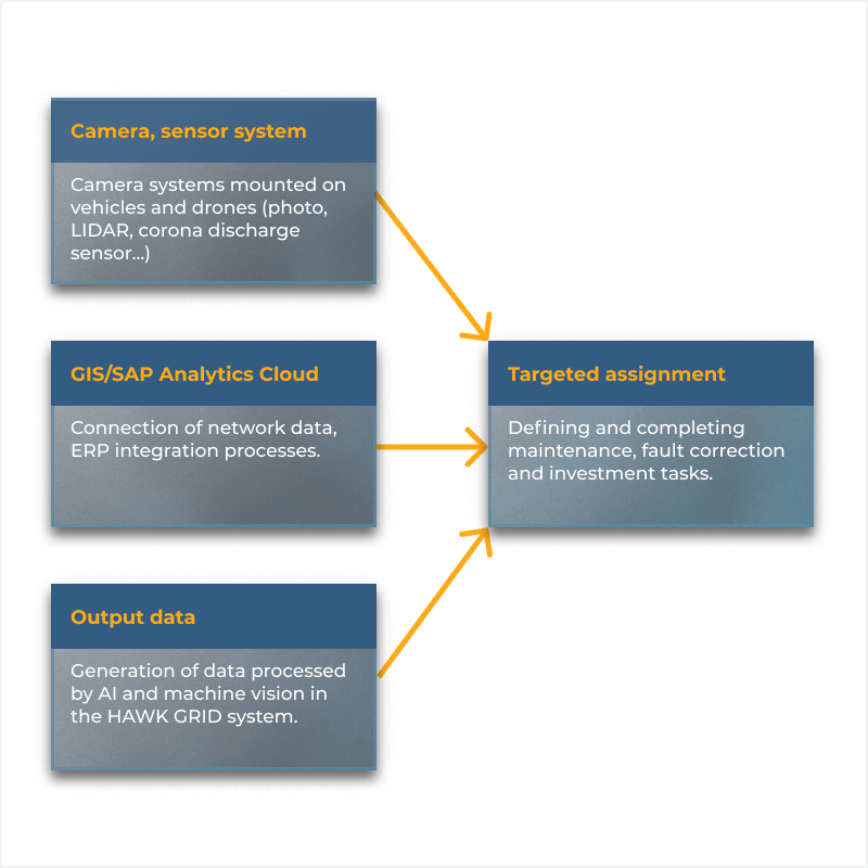
First we collect data on electricity networks. We take pictures with a drone and car-mounted cameras. Lidar, photo, corona discharge detectors, thermal imagers, with gas leak detection systems. With our satellite system we can detect vegetation data. Significant part of the data processing is already done on the on-board system supported by our well trained artificial intelligence.
The cost of data collection can be reduced by up to 50% and the time of data collection by 90%.
Data, photos, and processed results from the network are uploaded to our framework. We visualize the data, assign it to the network, and visualize it according to the customer’s needs.
This visualization can be a simple interface in the customer’s systems or a special user interface tailored to the customer.
Additional data analyzes are performed where the AI independently performs object recognitions and individual detections based on the customer’s needs.
Including but not limited to:
- Electric pole structure. (eg broken, cracked wooden column) vegetation analysis
- Existence of warning labels / indications
- Condition of insulators
- Detection of foreign equipment
Our systems can be fully integrated with the customer’s existing asset management systems. (SAP, ERP, GIS… etc.) The visual inspection of the infrastructures and the information obtained from it are evaluated with the help of AI. The efficient integration with customer systems enables advanced data analysis which can be applied to data-driven decisions for scheduled maintenance tasks and risk-based preventive maintenance.
demo car Camera set
We demonstrate the operation of our car-mounted camera system on distribution networks. During DEMO, we present the object and error recognition algorithm of our artificial intelligence-based system in a real environment. We also show how the collected data is uploaded and how we can integrate the results of the processing into the customer’s business process.
Our customers can choose an area (typically a low-voltage network accessible by car) where they can see and experience real-time object and fault assessment – through the in-car on-board system.
*applies to Europe only.
How can you request a demo?
Contact us at any of our contacts – or send us an enquiry using the details below.
Contact us
fill out the form
Fill out the form and register.

location
CHOOSE A PLACE
Choose an area that is accessible by car.
talk us
Online meeting
Let’s meet and get to know our visual inspection system.

Try it
LIVE DATA COLLECTION
Try our AI supported car mounted system in real time.
data
demo ui DATA check
View the collected data in our cloud-based system.

architecture
Vegetation management in urban areas
Ask for our offer and combine it with your error detection process, achieving significant cost savings.
You can find the vegetation analysis of medium and high voltage networks here:
Frequently asked questions
Have a question? Send it to us and we will publish the answer.
The monthly fee may also include the rental fee for the camera set. In this case, a minimum 1-year contract is necessary.
Yes. The system can be powered by any car, if necessary, it can also be used with a separate battery. The cost of data collection can be optimized specifically for an electric car.
Yes. In the case of the drone, car and corona camera set, the devices can be transported in a small case and can be easily fixed on the field. We designed our system in such a way that a dedicated car is not needed, but the system can be attached to any car. The maximum efficiency is provided by the fact that the camera can be fixed quickly and able to immediately indicate the faulty objects.

No. Although the system indicates the error, it examines it in the background, and if it has already recorded the same error once, it does not duplicate it.
The system works with the support of an object map and is able to indicate and visually display the already recorded and not yet recorded objects, thus supporting the data collection
The system performs its task completely automatically, so only the driver is required to start the recording. From that moment on, the system handles everything automatically.
No. On the one hand, you can stop the recording, and on the other hand, the on-board system can change the image sequences based on movement. When the car is stationary, it stores only the necessary recordings and discards the rest.
This largely depends on the business need – thus the error dictionary. If, for example, only the material of the column needs to be detected, then 1 front-facing camera is sufficient. If, on the other hand, the structural elements of the column and their composition are also important, then a front and rear camera is definitely required. Although the cameras have a wide field of view, if the network is located on both sides of the road, it may be advisable to use the 4 cameras.
Our system does not use LIDAR for two reasons. On the one hand, information based on depth vision is still sufficient, and on the other hand, LIDAR processing requires a large computing capacity, which cannot be solved on board in all cases, so secondary costs can rise significantly, which means additional costs for the customer. Regardless of this, we can of course also integrate LIDAR into the system based on the customer’s request. Our software can handle it.
100-150 km of data can be collected per day with 1 sensor, depending on the detail of the processing, the processing takes place either in real time or within a few days after the data is uploaded.
In general, in the case of planned and scheduled data collection, the processed data is entered into the central system within 1 week.
More products
Our other solutions that might be interesting for you.
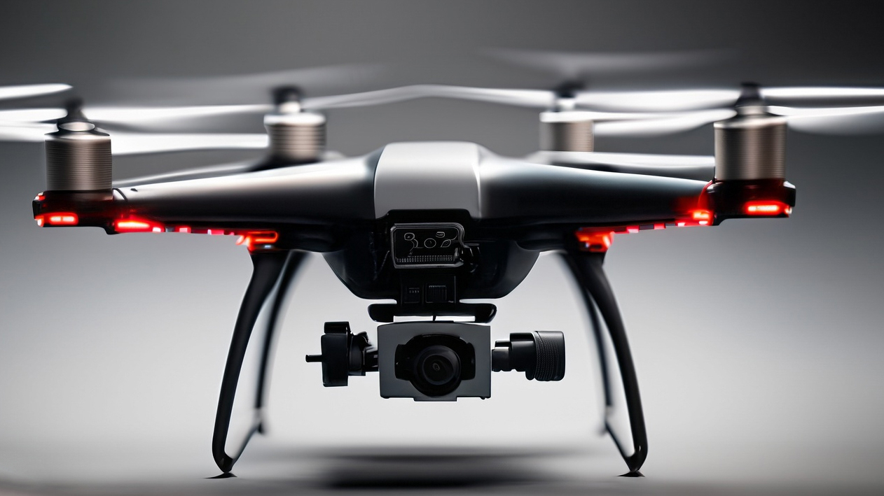
Drone detection
Electrical network inspection from the air with drone camera detection. AI supported automated flight paths and data capture.
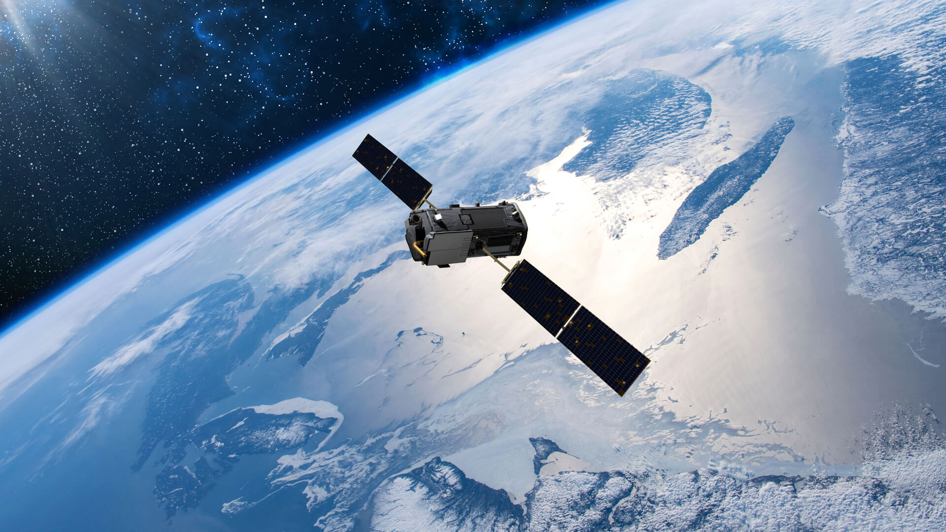
Satellite
Satellite imagery combined with AI enables you to accurately identify vegetation risks and impacts at any spot, any time.
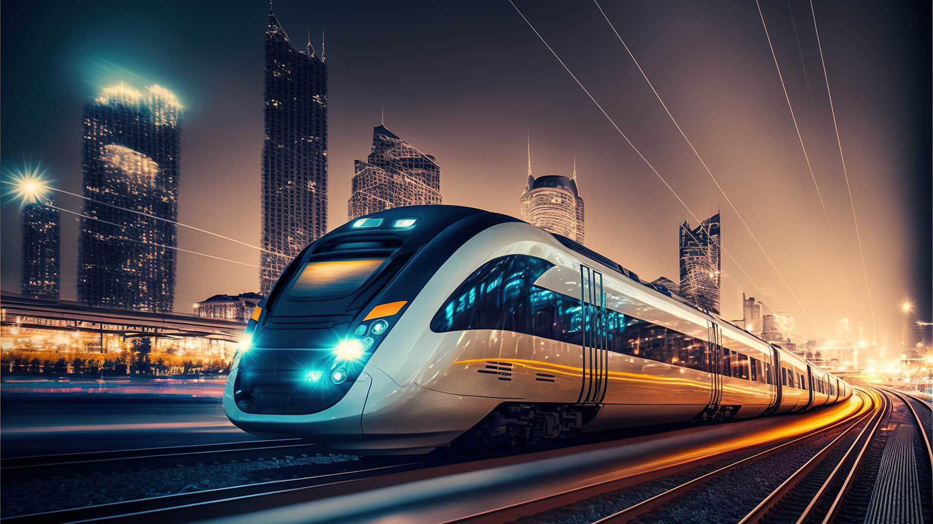
Railway Systems
The Rail Hawk System can detect the status of objects in the railway track environment and give signals if an object needs to be repaired.